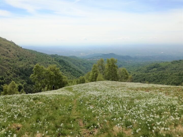
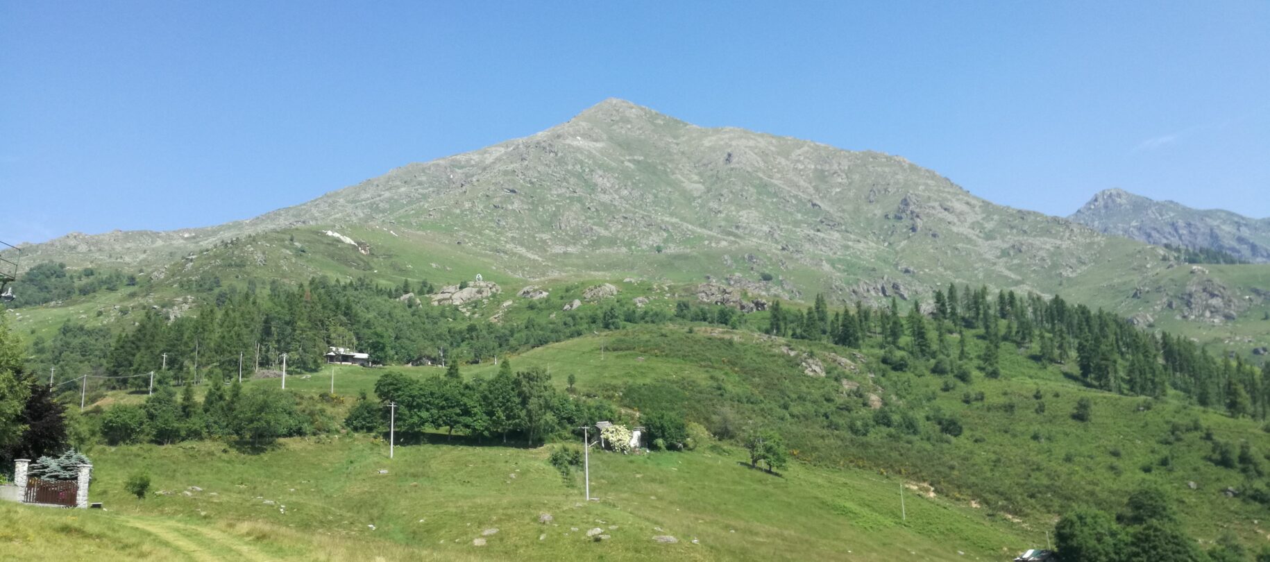
To explore some paths you can start directly from our structure, otherwise you have to drive a few kilometers with car. Valle Sacra routes offers both easy walks and challenging hikes of various degrees of difficulty, to discover our natural and beautiful heritage.
The classical hike to the Quinzeina and Verzel Mounts, and also the “Bella Dormiente” trek of the Alta Via Canavesana (AVC Stage 12), give an evocative panoramic sight of the plain and Alpi. These routes with difficulties and altitude differences are for experienced walkers.
We are near to Orco and Soana Valleys in Gran Paradiso National Park territory: the alpine ambiences rich in biodiversity with very scenic and naturalistic trails.
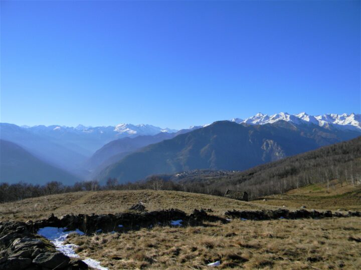
Il Sentiero del Blues – Blues Path
The Blues Path is an easy loop through woods and the Borgiallo village center, leading to church and votive chapels. Thanks to mild slope (about 200 m) and travel time of 2 hours and 25 minutes, this path is suitable for all hikers. It doesn’t require special abilities and can be a pleasant stroll with kids or with the Nordic Walking technique.
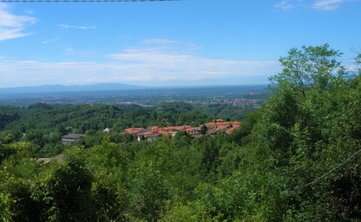
Da Borgiallo a Santa Elisabetta - Borgiallo Santa Elisabetta Path
Starting at the route next to our structure, in 2 hours and 30 minutes you will arrive at Santa Elisabetta Sanctuary. The route with paths and forest tracks, passes through wonderful chestnut trees woods and mountain pastures. The slope is around 490 m and the lenght is 3.5 kilometers, so this route is appropriate for average mountain hiker.
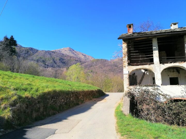
Boschi e Borghi della Valle Sacra - Woods and Villages of Valle Sacra Path
Historical and cultural site through the five villages of Valle Sacra. The route starts in Chiesanuova (1 kilometers from our structure) and arrive in Cintano, immersed in history and culture’s valley with beautiful views. Easy path but that requires good training for the lenght (9,24 kilometers) and the travel time (5 hours and 45 minutes).
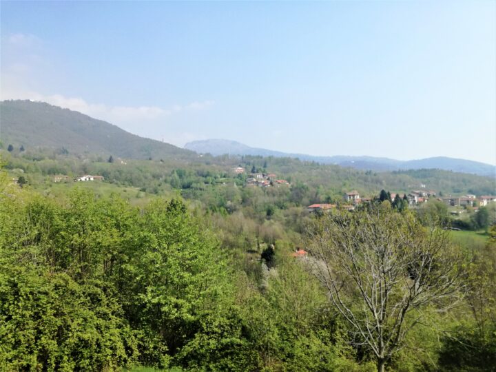
Sentiero del Basilisco - The Basilisk Path
The route is a loop that runs around Calvo, Verzel and Quinzeina Mounts and connects the ancient tracks used to link the mountain pastures to the Castelnuovo Nigra village. The path start from Cintano (8 kilometers from our structure) and the first part through the wood. Then crossed mountain vegetation with ferns and prairies where in spring it is possible to admire the blossoming of daffodils. The slope is about 663 meters and travel time is about 5 hours and 30 minutes which needs a good training.
